(date: 2024-01-28 10:59:53)
date: 2024-01-28, from: NOAA tornado/severe thunderstorm watches, mesoscale discussions, convective outlooks, fire weather outlooks

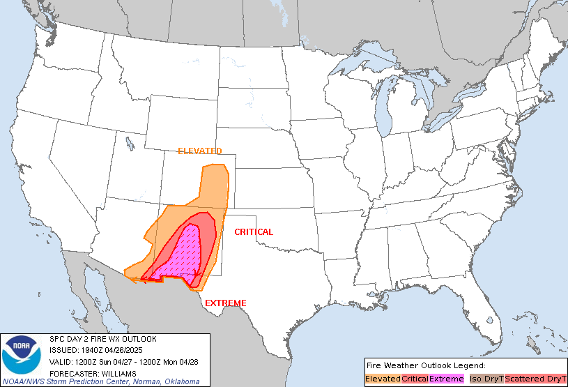
Day 2 Fire Weather Outlook
NWS Storm Prediction Center Norman OK
1242 PM CST Sun Jan 28 2024

Valid 291200Z - 301200Z

...NO CRITICAL AREAS...

No forecast changes are needed; latest observations and guidance
continue to suggest low potential for fire weather concerns on
Monday. See the previous discussion for details.

..Moore.. 01/28/2024

.PREV DISCUSSION... /ISSUED 1116 PM CST Sat Jan 27 2024/

...Synopsis...
The upper-level ridge will continue to shift eastward on Monday into
more of the Plains. While high surface pressure will remain in parts
of the northern/central Rockies, the pressure pattern will become
more diffuse from southern California into the southern Plains.
Areas of dry conditions are probable, but light winds and poorly
receptive fuels will continue to keep fire weather concerns minimal.

...Please see www.spc.noaa.gov/fire for graphic product...
https://www.spc.noaa.gov/products/fire_wx/fwdy2.html Save to Pocket
date: 2024-01-28, from: NOAA tornado/severe thunderstorm watches, mesoscale discussions, convective outlooks, fire weather outlooks
No watches are valid as of Sun Jan 28 18:45:01 UTC 2024.
https://www.spc.noaa.gov/products/watch/ Save to Pocket
date: 2024-01-28, from: NOAA tornado/severe thunderstorm watches, mesoscale discussions, convective outlooks, fire weather outlooks
No Mesoscale Discussions are in effect as of Sun Jan 28 18:45:01 UTC 2024.
https://www.spc.noaa.gov/products/md/ Save to Pocket
date: 2024-01-28, from: NOAA tornado/severe thunderstorm watches, mesoscale discussions, convective outlooks, fire weather outlooks

Day 2 Convective Outlook
NWS Storm Prediction Center Norman OK
1057 AM CST Sun Jan 28 2024

Valid 291200Z - 301200Z

...NO THUNDERSTORM AREAS FORECAST...

...SUMMARY...
Thunderstorms are not expected on Monday.

...Synopsis...

A dry, continental airmass will envelop much of the CONUS in the
wake of a cold frontal passage into the Gulf of Mexico and western
Atlantic. Stable conditions will prevail given a dearth of
boundary-layer moisture and thunderstorms are not expected.

..Leitman.. 01/28/2024
https://www.spc.noaa.gov/products/outlook/day2otlk_1730.html Save to Pocket
date: 2024-01-28, from: NOAA tornado/severe thunderstorm watches, mesoscale discussions, convective outlooks, fire weather outlooks

Day 1 Convective Outlook
NWS Storm Prediction Center Norman OK
1027 AM CST Sun Jan 28 2024

Valid 281630Z - 291200Z

...NO SEVERE THUNDERSTORM AREAS FORECAST...

...SUMMARY...
Severe thunderstorms are not forecast today.

...Synopsis/Discussion...
A midlevel low currently centered over the Ohio Valley will track
eastward into the western Atlantic ocean as it devolves into an open
wave through the period. A related cold front extending
south-southwestward along the Gulf Stream into central Florida will
continue southeastward across southern Florida into this evening.
Along/immediately ahead of the southeastward-moving front, diurnal
heating of a moist boundary layer (lower 70s dewpoints) should
support isolated thunderstorm development across central/southern
Florida despite poor midlevel lapse rates and dry air aloft.
Organized severe thunderstorm potential appears low owing to veered
surface winds/weak frontal convergence, weak instability, and modest
deep-layer shear.

..Weinman/Hart.. 01/28/2024
https://www.spc.noaa.gov/products/outlook/day1otlk_1630.html Save to Pocket
date: 2024-01-28, from: NOAA tornado/severe thunderstorm watches, mesoscale discussions, convective outlooks, fire weather outlooks

Day 1 Fire Weather Outlook
NWS Storm Prediction Center Norman OK
0906 AM CST Sun Jan 28 2024

Valid 281700Z - 291200Z

...NO CRITICAL AREAS...

The previous forecast (below) remains on track with no changes
needed. Morning observations and latest forecast guidance continue
to suggest low potential for fire weather concerns across the
country.

..Moore.. 01/28/2024

.PREV DISCUSSION... /ISSUED 1115 PM CST Sat Jan 27 2024/

...Synopsis...
Upper-level ridging will build into the West and extend into the
High Plains region today. Surface high pressure will extend from the
Northwest into the southern Plains. With some downslope flow,
temperatures in the southern High Plains will warm. Given weak
winds, marginal RH, and poorly receptive fuels, fire weather
concerns are not expected within the region. Similarly, modest dry
offshore winds are anticipated in southern California. However, poor
fuels receptiveness will mitigate fire weather risk here as well.

...Please see www.spc.noaa.gov/fire for graphic product...
https://www.spc.noaa.gov/products/fire_wx/fwdy1.html Save to Pocket