(date: 2024-03-03 18:45:41)
date: 2024-03-04, from: NOAA tornado/severe thunderstorm watches, mesoscale discussions, convective outlooks, fire weather outlooks
No watches are valid as of Mon Mar 4 02:39:02 UTC 2024.
https://www.spc.noaa.gov/products/watch/ Save to Pocket
date: 2024-03-04, from: NOAA tornado/severe thunderstorm watches, mesoscale discussions, convective outlooks, fire weather outlooks
No Mesoscale Discussions are in effect as of Mon Mar 4 02:39:02 UTC 2024.
https://www.spc.noaa.gov/products/md/ Save to Pocket
date: 2024-03-04, from: NOAA tornado/severe thunderstorm watches, mesoscale discussions, convective outlooks, fire weather outlooks

Day 1 Convective Outlook
NWS Storm Prediction Center Norman OK
0656 PM CST Sun Mar 03 2024

Valid 040100Z - 041200Z

...NO SEVERE THUNDERSTORM AREAS FORECAST...

...SUMMARY...
Severe thunderstorms are unlikely for the remainder of tonight.

...Northern WI into Upper MI...
Thunderstorms are ongoing early this evening across northwest WI,
along and ahead of a cold front attendant to a deep surface cyclone
centered near the ND/MN/MB border. Strong ascent in combination with
steep low/midlevel lapse rates across the region has compensated for
generally limited low-level moisture, though buoyancy remains weak,
with MUCAPE generally less than 500 J/kg. Small hail and gusty winds
will remain possible with these storms as they move across northern
WI into Upper MI and over Lake Superior through the evening. See MCD
187 for more information.

...Florida...
A downward trend in storm coverage/intensity has been noted over
Florida this evening, though an ongoing storm cluster west of Lake
Okeechobee could pose a threat for small hail and gusty winds for as
long as it persists. Substantial earlier convective overturning over
much of the Peninsula and the loss of diurnal heating should
contribute to a continued overall weakening trend with time tonight.

..Dean.. 03/04/2024
https://www.spc.noaa.gov/products/outlook/day1otlk_0100.html Save to Pocket
date: 2024-03-03, from: NOAA Weather Forecasts

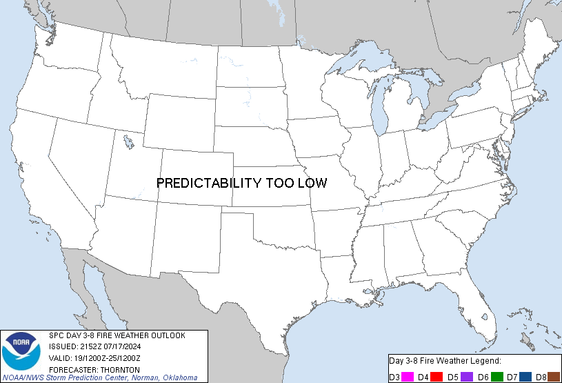
Day 3-8 Fire Weather Outlook
NWS Storm Prediction Center Norman OK
0333 PM CST Sun Mar 03 2024

Valid 051200Z - 111200Z

A relatively zonal upper pattern will encourage locally dry and
windy conditions across the Plains states Tuesday-Wednesday, before
dry and windy conditions increase across the southern High Plains
later this week in advance of an approaching mid-level trough.
Medium range guidance members show some potential for Critical
overlapping winds/RH somewhere from the Texas/New Mexico border to
the Rio Grande during the Thursday-Saturday period. However, the
medium range members vary too much in placement and timing of the
aforementioned Critical winds/RH for Critical probabilities to be
introduced at this time. Nonetheless, prolonged dry conditions are
expected to continue through the week across the southern High
Plains, with no appreciable precipitation accumulations expected. As
such, Critical probabilities or fire weather highlights will likely
be introduced at some point later this week across the southern High
Plains once guidance members show better agreement in the placement
and timing of conditions favorable for wildfire spread.

..Squitieri.. 03/03/2024

...Please see www.spc.noaa.gov/fire for graphic product...
https://www.spc.noaa.gov/products/exper/fire_wx/ Save to Pocket