(date: 2024-10-20 08:34:07)
date: 2024-10-20, from: Eastern Pacific Basin GIS Data
No tropical cyclones as of Sun, 20 Oct 2024 15:28:52 GMT
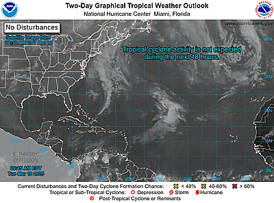
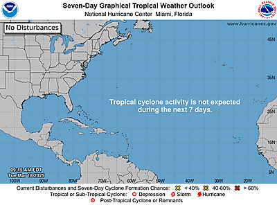
date: 2024-10-20, from: Graphical Tropical Weather Outlooks


https://www.nhc.noaa.gov/gtwo.php?basin=atlc
date: 2024-10-20, from: NOAA tornado/severe thunderstorm watches, mesoscale discussions, convective outlooks, fire weather outlooks
No watches are valid as of Sun Oct 20 14:08:01 UTC 2024.
https://www.spc.noaa.gov/products/watch/
date: 2024-10-20, from: NOAA tornado/severe thunderstorm watches, mesoscale discussions, convective outlooks, fire weather outlooks
No Mesoscale Discussions are in effect as of Sun Oct 20 14:08:01 UTC 2024.
https://www.spc.noaa.gov/products/md/
date: 2024-10-20, from: NOAA tornado/severe thunderstorm watches, mesoscale discussions, convective outlooks, fire weather outlooks

Day 1 Convective Outlook
NWS Storm Prediction Center Norman OK
0723 AM CDT Sun Oct 20 2024

Valid 201300Z - 211200Z

...THERE IS A SLIGHT RISK OF SEVERE THUNDERSTORMS THIS
AFTERNOON/EVENING ACROSS EASTERN NM...

...SUMMARY...
Occasional large hail (1-2 inches in diameter), isolated
strong-severe outflow gusts (50-60 mph), and a couple of tornadoes
will be possible across eastern New Mexico this afternoon/evening.

...Eastern NM this afternoon/evening...
In response to gradual upstream height falls over the Great Basin, a
closed midlevel low now over northeast AZ will move
east-northeastward to southern CO/northern NM by Monday morning.  A
narrow corridor of moisture return (boundary-layer dewpoints in the
mid-upper 50s) will be maintained across eastern NM, along and east
of a diffuse lee trough/weak cold front.  Pockets of surface heating
in cloud breaks across southern/southeastern NM will boost buoyancy
during the afternoon (MLCAPE of 1000-1500 J/kg) when convective
inhibition will be quite weak and thunderstorm coverage/intensity
are both expected to increase across eastern NM.  Midlevel lapse
rates will not be particularly steep, but relatively long hodographs
will favor supercells capable of producing occasional large hail
(1-2 inches in diameter), as well as isolated strong outflow gusts
(50-60 mph).  Additionally, an increase in low-level hodograph
curvature through the afternoon/evening in a sufficiently moist
environment will support the potential for a couple of tornadoes.

..Thompson/Goss.. 10/20/2024
https://www.spc.noaa.gov/products/outlook/day1otlk_1300.html
date: 2024-10-20, from: Central Pacific Basin Tropical Cyclones
000
ACPN50 PHFO 201153
TWOCP
Tropical
Weather Outlook
NWS Central Pacific Hurricane Center Honolulu
HI
200 AM HST Sun Oct 20 2024
For the central North
Pacific…between 140W and 180W:
No tropical cyclones are
expected during the next 7 days.
$$
Forecaster
Shigesato
https://www.nhc.noaa.gov/gtwo.php?basin=cpac
date: 2024-10-20, from: Eastern Pacific Basin Tropical Cyclones
000
ABPZ20 KNHC 201150
TWOEP
Tropical
Weather Outlook
NWS National Hurricane Center Miami FL
500 AM
PDT Sun Oct 20 2024
For the eastern North Pacific…east of 140
degrees west longitude:
South of Southwestern Mexico:
After Nadine dissipates over southern Mexico, its remnants are
expected to move into the eastern Pacific by late today. The
combination of the remnants of Nadine and influences from a Gulf of
Tehuantepec gap wind event are forecast to result in the formation
of a new low pressure system off the coast of southern Mexico in a
day or so. Additional development is expected after that time, and
a tropical depression is expected to form during the early to
middle
part of this week while the system moves westward at about
15 mph
away from the coast of Mexico.
* Formation chance
through 48 hours…medium…60 percent.
* Formation chance through 7
days…high…90 percent.
$$
Forecaster Landsea
https://www.nhc.noaa.gov/gtwo.php?basin=epac
date: 2024-10-20, from: NOAA Weather Forecasts

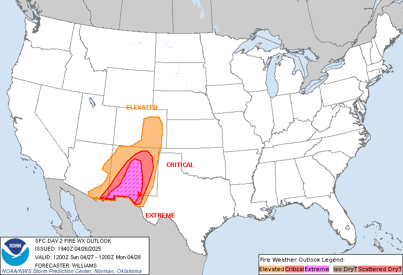
Day 2 Fire Weather Outlook
NWS Storm Prediction Center Norman OK
1218 AM CDT Sun Oct 20 2024

Valid 211200Z - 221200Z

...NO CRITICAL AREAS...

...Synopsis...
Fire weather concerns will remain limited for Monday across the
country. The upper low currently over northern AZ is forecast to
eject into the Plains through the day. While winds across the Plains
will be breezy, scattered showers and thunderstorms will limit fire
weather concerns. Dry conditions will persist across the West, and
localized elevated conditions appear possible in the lee of the
Cascades and through the Snake River Plains where terrain-driven
winds may approach 15-20 mph. However, such conditions should remain
too localized to warrant highlights.

..Moore.. 10/20/2024

...Please see www.spc.noaa.gov/fire for graphic product...
https://www.spc.noaa.gov/products/fire_wx/fwdy2.html
date: 2024-10-20, from: NOAA tornado/severe thunderstorm watches, mesoscale discussions, convective outlooks, fire weather outlooks

Day 1 Convective Outlook
NWS Storm Prediction Center Norman OK
0756 PM CDT Sat Oct 19 2024

Valid 200100Z - 201200Z

...THERE IS A SLIGHT RISK OF SEVERE THUNDERSTORMS ACROSS EASTERN NEW
MEXICO AND PARTS OF WEST TEXAS...

...SUMMARY...
Large hail, severe gusts and some tornado threat remain possible
across eastern New Mexico and portions of far West Texas this
evening.

...01z Update...

Strongest 500mb flow appears to be translating through the base of
the trough into western NM early this evening. This speed max will
advance into northern NM by the end of the period which will allow
the upper low to begin ejecting northeast toward the Four Corners.
Even so, negligible height changes will be noted across eastern
NM/West TX during the overnight hours. Scattered-numerous
thunderstorms have developed ahead of this upper feature with a
broken band of strong/severe convection currently extending from
near El Paso, northeast into Harding County NM, southwest of
Clayton. Several supercells have developed along this corridor which
are likely producing hail at/near severe levels, especially Chaves
County. 00z soundings from both AMA and MAF exhibited substantial
capping in the 700-750mb layer, though mid-level lapse rates are
steep. A bit west, uncapped profiles are noted at EPZ and ABQ with
strong deep-layer shear evident. Thunderstorms should continue to
develop along the leading edge of upper trough/influence where
inhibition is weak. Organized structures remain possible and large
hail is the primary risk, though gusts and perhaps a tornado or two
can not be ruled out this evening.

..Darrow.. 10/20/2024
https://www.spc.noaa.gov/products/outlook/day1otlk_0100.html
date: 2024-10-19, from: NOAA tornado/severe thunderstorm watches, mesoscale discussions, convective outlooks, fire weather outlooks

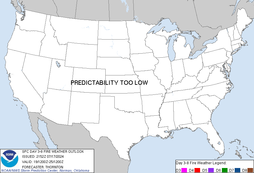
Day 3-8 Fire Weather Outlook
NWS Storm Prediction Center Norman OK
0451 PM CDT Sat Oct 19 2024

Valid 211200Z - 271200Z

Fire weather concerns will remain low in the extended. A closed
mid-level low will continue east-northeastward across the central
Rockies into early next week, with breezy winds expected across the
Plains. Behind this system, post-frontal northwesterly breezes will
be possible across the Central/High plains. However, low-level
moisture return and eventual precipitation will limit RH reductions
and the overall fire-weather risk.

High pressure will build in across the CONUS through the end of the
week before shortwave progression across the northern periphery
brings a more zonal westerly flow pattern across the Rockies. This
may bring potential for breezy conditions across portions of the
northern Plains. Confidence in widespread relative humidity
reductions remains limited at this time and no areas have been
included.

..Thornton.. 10/19/2024

...Please see www.spc.noaa.gov/fire for graphic product...
https://www.spc.noaa.gov/products/exper/fire_wx/
date: 2024-10-17, from: NOAA tornado/severe thunderstorm watches, mesoscale discussions, convective outlooks, fire weather outlooks

Day 1 Convective Outlook
NWS Storm Prediction Center Norman OK
0236 PM CDT Thu Oct 17 2024

Valid 172000Z - 181200Z

...NO SEVERE THUNDERSTORM AREAS FORECAST...

...SUMMARY...
Organized severe thunderstorms are not expected through tonight.

...20z Update...
The previous outlook remains valid with no changes. Scattered
thunderstorms are possible across the Great Basin and Rockies ahead
of a deep upper trough and cold front this afternoon through
tonight. An isolated stronger storm may be capable of strong outflow
wind gusts, but organized severe storms are not expected. See the
prior outlook for additional information.

..Lyons.. 10/17/2024

.PREV DISCUSSION... /ISSUED 1110 AM CDT Thu Oct 17 2024/

...Western States...
A large upper trough will dig southeastward across the mountainous
west today and tonight.  This will provide increasing large-scale
ascent and increasing mid-level moisture for scattered showers and
thunderstorms across much of the Rockies and Great Basin.  Visible
satellite imagery shows widespread high clouds over much of this
area, which should limit daytime heating and destabilization.
Strengthening winds aloft could pose a risk for gusty winds in the
strongest cells this afternoon, but the risk of severe storms
appears low.
https://www.spc.noaa.gov/products/outlook/day1otlk_2000.html
date: 2024-10-16, from: NOAA tornado/severe thunderstorm watches, mesoscale discussions, convective outlooks, fire weather outlooks

Day 1 Convective Outlook
NWS Storm Prediction Center Norman OK
1107 AM CDT Wed Oct 16 2024

Valid 161630Z - 171200Z

...NO SEVERE THUNDERSTORM AREAS FORECAST...

...SUMMARY...
Organized severe thunderstorms are not expected.

...Great Basin...
A weak upper trough and pockets of residual mid-level moisture will
result in scattered showers and thunderstorms across much of the
Great Basin today.  Model guidance suggests a weak mid-level speed
max moving across the Four Corners region into western CO.  Steep
low and mid level lapse rates could aid in locally gusty winds in
the strongest cells.  No organized severe storms are expected.

Other thunderstorms will occur beneath an upper trough affecting the
Pacific Northwest states.  Finally, a few thunderstorms are possible
in a warm/moist air mass present across south TX and south FL.

..Hart/Thornton.. 10/16/2024
https://www.spc.noaa.gov/products/outlook/day1otlk_1630.html