(date: 2024-12-01 15:32:06)
date: 2024-12-02, from: Eastern Pacific Basin Tropical Cyclones
The Eastern North Pacific hurricane season runs from May 15th through November 30th.
date: 2024-12-01, from: NOAA tornado/severe thunderstorm watches, mesoscale discussions, convective outlooks, fire weather outlooks
No watches are valid as of Sun Dec 1 22:08:01 UTC 2024.
https://www.spc.noaa.gov/products/watch/
date: 2024-12-01, from: NOAA tornado/severe thunderstorm watches, mesoscale discussions, convective outlooks, fire weather outlooks
No Mesoscale Discussions are in effect as of Sun Dec 1 22:08:01 UTC 2024.
https://www.spc.noaa.gov/products/md/
date: 2024-12-01, from: Eastern Pacific Basin GIS Data
No tropical cyclones as of Sun, 01 Dec 2024 21:47:53 GMT
date: 2024-12-01, from: NOAA tornado/severe thunderstorm watches, mesoscale discussions, convective outlooks, fire weather outlooks
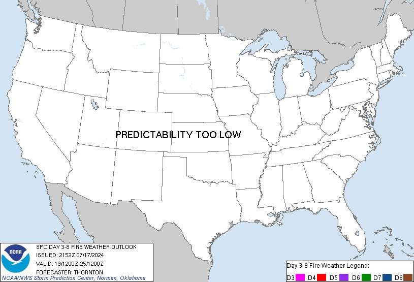
Day 3-8 Fire Weather Outlook
NWS Storm Prediction Center Norman OK
0321 PM CST Sun Dec 01 2024

Valid 031200Z - 091200Z

On Day 3/Tuesday, an expansive surface high will shift southeastward
from the Middle MS Valley into the Southeast. On the southeastern
periphery of this feature, a modest pressure gradient will promote
locally breezy northerly surface winds amid a dry antecedent air
mass across portions of southern FL. While locally elevated
fire-weather conditions are possible (given modestly receptive
fuels), the potential for critical conditions appears low.

Thereafter, fire-weather concerns should be minimal across the CONUS
through the extended forecast period, as northwesterly flow aloft
persists from the northern Rockies into the Southeast -- limiting
the overlap of warm/dry/breezy conditions.

..Weinman.. 12/01/2024

...Please see www.spc.noaa.gov/fire for graphic product...
https://www.spc.noaa.gov/products/exper/fire_wx/
date: 2024-12-01, from: NOAA tornado/severe thunderstorm watches, mesoscale discussions, convective outlooks, fire weather outlooks
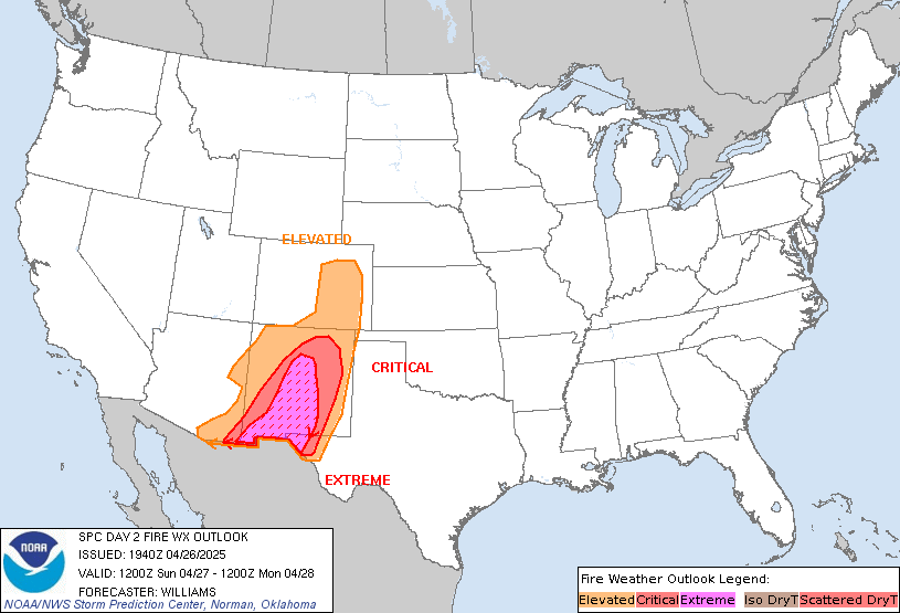
Day 2 Fire Weather Outlook
NWS Storm Prediction Center Norman OK
0154 PM CST Sun Dec 01 2024

Valid 021200Z - 031200Z

...NO CRITICAL AREAS...

The latest high-resolution guidance consensus depicts a brief
overlap of 25-30 percent RH and 10-12 mph sustained northerly
surface winds across portions of southwest FL during the afternoon
hours, potentially favoring brief/localized elevated fire-weather
conditions. However, the expected brief nature of these conditions
and somewhat marginal winds should generally limit the fire-weather
risk -- precluding Elevated highlights at this time. For additional
details, see the previous discussion below.

..Weinman.. 12/01/2024

.PREV DISCUSSION... /ISSUED 1212 AM CST Sun Dec 01 2024/

...Synopsis...
A mid-level trough is expected to be situated over the eastern
portions of the CONUS through the day on Monday, though some
shortening of the wavelength should allow for some eastward
progression through the day. At the surface, a broad area of high
pressure is expected to translate southward across the central
Plains, reinforcing the cool surface conditions and bringing
generally light winds. As such, no significant fire concerns are
expected across much of the CONUS on Monday. The exception may be
western parts of the Florida peninsula, which may be in an
unmodified dry continental air mass, resulting in low RH. Along with
modestly dry fuels, this may create localized conditions favorable
for fire spread. However, winds currently appear to be too light to
introduce Elevated highlights on this outlook.

...Please see www.spc.noaa.gov/fire for graphic product...
https://www.spc.noaa.gov/products/fire_wx/fwdy2.html
date: 2024-12-01, from: NOAA tornado/severe thunderstorm watches, mesoscale discussions, convective outlooks, fire weather outlooks

Day 1 Convective Outlook
NWS Storm Prediction Center Norman OK
0134 PM CST Sun Dec 01 2024

Valid 012000Z - 021200Z

...NO THUNDERSTORM AREAS FORECAST...

...SUMMARY...
Thunderstorms are not expected through tonight.

...20z Update...
No forecast changes are needed; thunderstorm potential over the
country remains minimal for today. See the previous discussion for
additional details.

..Moore.. 12/01/2024

.PREV DISCUSSION... /ISSUED 1010 AM CST Sun Dec 01 2024/

...Synopsis and Discussion...
Large-scale upper troughing and cyclonic flow aloft will continue to
prevail east of the Rockies through the period, while an upper ridge
builds over the West. A cool/stable pattern, with the influence of
surface high pressure over the Southeast and continental
trajectories over the Gulf of Mexico, will limit lightning potential
across the CONUS through tonight. Shallow convection will persist in
lake effect snow bands off Lakes Erie and Ontario, but the
probability for lightning flashes should remain less than 10
percent. Across deep south Texas and vicinity, weak low-level warm
advection along a coastal front near the lower Texas Coast may
eventually lead to an increase in convection offshore, although the
potential for thunderstorms over land is expected to remain low.
https://www.spc.noaa.gov/products/outlook/day1otlk_2000.html
date: 2024-12-01, from: NOAA tornado/severe thunderstorm watches, mesoscale discussions, convective outlooks, fire weather outlooks

Day 3 Convective Outlook
NWS Storm Prediction Center Norman OK
0106 PM CST Sun Dec 01 2024

Valid 031200Z - 041200Z

...NO SEVERE THUNDERSTORM AREAS FORECAST...

...SUMMARY...
Isolated thunderstorms are possible along the Texas Coast. No severe
thunderstorms are expected.

...Synopsis...
Upper troughing is forecast to cover the eastern CONUS early Tuesday
morning, with an embedded shortwave trough progressing through the
Mid-Atlantic States. Mean upper troughing is expected to continue
gradually eastward throughout the day, while another shortwave
trough drops southeastward through the Canadian Prairies and into
the northern Plains/Upper Midwest late Tuesday/early Wednesday.

At the surface, ridging associated with a dry, continental airmass
is forecast to gradually shift eastward from the Mid MS Valley into
the central Appalachians. Presence of this ridging and associated
dry airmass will help to maintain stable conditions across the
majority of the eastern CONUS. The only exception is along the TX
coast. Here, easterly low-level trajectories around the surface
ridging will moisten the low-levels while larger scale mass response
ahead of the shortwave trough entering the northern Plains increases
the low to mid-level southerly flow. Resulting warm-air advection
could be enough for isolated thunderstorms along the TX coast,
beginning across south TX early Tuesday before gradually shifting
northward throughout the period.

..Mosier.. 12/01/2024
https://www.spc.noaa.gov/products/outlook/day3otlk_1930.html
date: 2024-12-01, from: NOAA tornado/severe thunderstorm watches, mesoscale discussions, convective outlooks, fire weather outlooks

Day 2 Convective Outlook
NWS Storm Prediction Center Norman OK
1103 AM CST Sun Dec 01 2024

Valid 021200Z - 031200Z

...NO SEVERE THUNDERSTORM AREAS FORECAST...

...SUMMARY...
Isolated thunderstorms will be possible on Monday across south
Texas. Severe storms are not expected.

...Synopsis...
Deep upper troughing will gradually shift eastward across the
eastern CONUS on Monday, as a embedded shortwave trough progresses
from Mid MS Valley through the TN Valley and central Appalachians.
Upper ridging will persist west of the Rockies while a pair of
modest cyclones impinge on its western periphery along the West
Coast.

Surface high pressure is forecast to build over the northern and
central Plains, accompanied by a reinforcing surge of cold air. The
overall pattern will maintain a dry, continental air mass across the
majority of the CONUS, with no thunderstorms anticipated. The only
exception is along the deep south TX coast, where warm-air advection
north of a slowly deepening surface low could support isolated deep
convection and a few lightning flashes.

..Mosier.. 12/01/2024
https://www.spc.noaa.gov/products/outlook/day2otlk_1730.html
date: 2024-12-01, from: NOAA Weather Forecasts

Day 1 Fire Weather Outlook
NWS Storm Prediction Center Norman OK
1016 AM CST Sun Dec 01 2024

Valid 011700Z - 021200Z

...NO CRITICAL AREAS...

The previous forecast (see below) remains on track, and no changes
were made with this update.

..Weinman.. 12/01/2024

.PREV DISCUSSION... /ISSUED 1212 AM CST Sun Dec 01 2024/

...Synopsis...
A broad mid-level trough will remain in place over the eastern half
of the CONUS through the day on Sunday, with northwesterly mid-level
flow resulting in expansive surface high pressure across much of the
CONUS. With the cool surface conditions and light winds, fire
concerns are largely expected to be minimal. The exception may be
portions of the western Florida peninsula, where unmodified dry
continental air may be present, resulting in low RH for the area
along with modestly dry fuels. However, confidence in breezy
conditions in the area is currently poor, so no highlights will be
introduced at this time.

...Please see www.spc.noaa.gov/fire for graphic product...
https://www.spc.noaa.gov/products/fire_wx/fwdy1.html
date: 2024-12-01, from: NOAA tornado/severe thunderstorm watches, mesoscale discussions, convective outlooks, fire weather outlooks

Day 1 Convective Outlook
NWS Storm Prediction Center Norman OK
1010 AM CST Sun Dec 01 2024

Valid 011630Z - 021200Z

...NO THUNDERSTORM AREAS FORECAST...

...SUMMARY...
Thunderstorms are not expected through tonight.

...Synopsis and Discussion...
Large-scale upper troughing and cyclonic flow aloft will continue to
prevail east of the Rockies through the period, while an upper ridge
builds over the West. A cool/stable pattern, with the influence of
surface high pressure over the Southeast and continental
trajectories over the Gulf of Mexico, will limit lightning potential
across the CONUS through tonight. Shallow convection will persist in
lake effect snow bands off Lakes Erie and Ontario, but the
probability for lightning flashes should remain less than 10
percent. Across deep south Texas and vicinity, weak low-level warm
advection along a coastal front near the lower Texas Coast may
eventually lead to an increase in convection offshore, although the
potential for thunderstorms over land is expected to remain low.

..Gleason/Wendt.. 12/01/2024
https://www.spc.noaa.gov/products/outlook/day1otlk_1630.html
date: 2024-12-01, from: NOAA tornado/severe thunderstorm watches, mesoscale discussions, convective outlooks, fire weather outlooks

Day 1 Convective Outlook
NWS Storm Prediction Center Norman OK
0658 AM CST Sun Dec 01 2024

Valid 011300Z - 021200Z

...NO THUNDERSTORM AREAS FORECAST...

...SUMMARY...
Thunderstorms are not expected through tonight.

...Discussion...
Longwave troughing and prevalent cyclonic flow aloft will continue
to prevail east of the Rockies while an upper ridge builds over the
West. A cool/stable pattern via the influence of high pressure and
continental trajectories will considerably limit convective
potential today and tonight. Shallow convection will persist in lake
effect bands off Lakes Erie and Ontario, but the potential for
lightning flashes should remain limited. Across far south Texas,
warm advection along a coastal front near the lower Texas coast
could lead to an increase in convection, although the potential for
thunderstorms inland is expected to remain low.

..Guyer/Broyles.. 12/01/2024
https://www.spc.noaa.gov/products/outlook/day1otlk_1300.html
date: 2024-12-01, from: Graphical Tropical Weather Outlooks
https://www.nhc.noaa.gov/gtwo.php?basin=cpac
date: 2024-12-01, from: Eastern Pacific Basin Tropical Cyclones
000
ABPZ20 KNHC 010500
TWOEP
Tropical
Weather Outlook
NWS National Hurricane Center Miami FL
1000 PM
PST Sat Nov 30 2024
For the eastern North Pacific…east of 140
degrees west longitude:
Tropical cyclone formation is not
expected during the next 7 days.
This is the last regularly
scheduled Tropical Weather Outlook of
the 2024 eastern North
Pacific Hurricane Season. Routine issuance
of the Tropical Weather
Outlook will resume on May 15, 2025. During
the off-season,
Special Tropical Weather Outlooks will be issued as
conditions
warrant.
$$
Forecaster Beven
https://www.nhc.noaa.gov/gtwo.php?basin=epac
date: 2024-11-30, from: Graphical Tropical Weather Outlooks
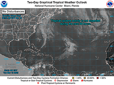
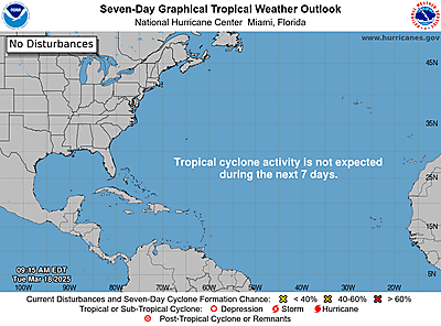
https://www.nhc.noaa.gov/gtwo.php?basin=atlc
date: 2024-11-30, from: NOAA tornado/severe thunderstorm watches, mesoscale discussions, convective outlooks, fire weather outlooks
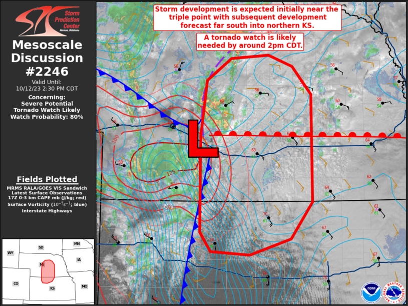
Mesoscale Discussion 2246
NWS Storm Prediction Center Norman OK
0916 AM CST Sat Nov 30 2024

Areas affected...the I-70 corridor in MO

Concerning...Heavy snow

Valid 301516Z - 301845Z

SUMMARY...A narrow band of moderate to heavy snow should produce
rates near 1 in/hr as it shifts east along the I-70 corridor from
the Kansas City towards the St. Louis Metro Areas into early
afternoon.

DISCUSSION...Multiple bands have recently consolidated into a
higher-reflectivity singular band along the I-70 corridor in eastern
KS to western MO. This has impacted the Topeka to Kansas City Metro
Areas with heavy snow being reported in the 15Z obs at TOP and MKC.
Along the leading edge of the 35-dBZ reflectivity, enhanced KDP
values of 0.6-0.7 deg/km have been coincident with the dendritic
layer aloft, indicative of rates around 1 in/hr. While 12Z models
(outside of the RAP) have signaled lesser snowfall rates relative to
00Z guidance, the 00Z WRF-NSSL had a decent representation of the
band, albeit a few hours too slow. It appears this band will
probably continue eastward along the I-70 corridor towards the St.
Louis Metro Area into early afternoon.

..Grams.. 11/30/2024

...Please see www.spc.noaa.gov for graphic product...

ATTN...WFO...LSX...SGF...EAX...TOP...

LAT...LON   39259491 39259273 39209163 39119105 38899047 38509044
            38399081 38389161 38519314 38629445 38919513 39259491