(date: 2024-12-22 07:04:56)
date: 2024-12-22, from: NOAA tornado/severe thunderstorm watches, mesoscale discussions, convective outlooks, fire weather outlooks
No watches are valid as of Sun Dec 22 13:40:02 UTC 2024.
https://www.spc.noaa.gov/products/watch/
date: 2024-12-22, from: NOAA tornado/severe thunderstorm watches, mesoscale discussions, convective outlooks, fire weather outlooks
No Mesoscale Discussions are in effect as of Sun Dec 22 13:40:02 UTC 2024.
https://www.spc.noaa.gov/products/md/
date: 2024-12-22, from: NOAA tornado/severe thunderstorm watches, mesoscale discussions, convective outlooks, fire weather outlooks

Day 1 Convective Outlook
NWS Storm Prediction Center Norman OK
0700 AM CST Sun Dec 22 2024

Valid 221300Z - 231200Z

...NO SEVERE THUNDERSTORM AREAS FORECAST...

...SUMMARY...
Severe thunderstorms are not forecast across the contiguous United
States through tonight.

...Synopsis...
Water-vapor imagery this morning shows an upper trough over the
eastern Pacific to the west of the Pacific Northwest coast.  This
upper feature will move east-northeast into British Columbia and
WA/OR tonight.  Cooling midlevel temperatures will result in weak
buoyancy (100-200 J/kg MUCAPE) late today into tonight from portions
of northern CA northward along the coastal ranges of OR/WA.
Elsewhere, mainly tranquil and stable conditions will prevail across
the Lower 48 states.

..Smith/Goss.. 12/22/2024
https://www.spc.noaa.gov/products/outlook/day1otlk_1300.html
date: 2024-12-22, from: NOAA tornado/severe thunderstorm watches, mesoscale discussions, convective outlooks, fire weather outlooks

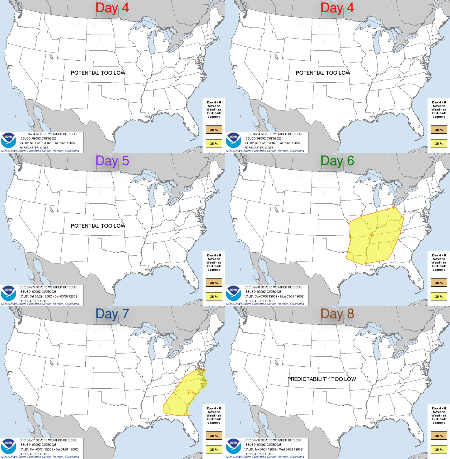
Day 4-8 Convective Outlook
NWS Storm Prediction Center Norman OK
0400 AM CST Sun Dec 22 2024

Valid 251200Z - 301200Z

...DISCUSSION...
A moderately amplified and more active/progressive southern-stream
pattern is still expected later this week, along with a general
northward fluctuation of low-level moisture across parts of Texas to
the Lower Mississippi Valley and Gulf Coast.

After a day of little or no severe-weather potential on Christmas
Wednesday/Day 4, severe risks are expected to increase into Days 5-7
Thursday-Saturday. A secondary upper trough is expected to emerge
from the Southwest deserts and moves toward the Ozarks/Deep South.
This could lead to at least a low-end multi-day severe risk in a
corridor from east/southeast Texas and the ArkLaTex to Lower
Mississippi Valley. In particular, Thursday/Day 5 could ultimately
warrant Slight Risk-caliber severe probabilities across
east/southeast Texas, especially if the more southern and more
severe-favorable ECMWF model runs become more apparent.
https://www.spc.noaa.gov/products/exper/day4-8/
date: 2024-12-20, from: NOAA tornado/severe thunderstorm watches, mesoscale discussions, convective outlooks, fire weather outlooks

Day 2 Convective Outlook
NWS Storm Prediction Center Norman OK
1110 AM CST Fri Dec 20 2024

Valid 211200Z - 221200Z

...NO SEVERE THUNDERSTORM AREAS FORECAST...

...SUMMARY...
Severe thunderstorms are not expected on Saturday.

...Synopsis...
An upper-level ridge centered near the Continental Divide will
translate slowly eastward through the day as a strong, compact,
negatively-tilted mid-level trough moves into the Pacific Northwest.
Across the eastern CONUS a trough will persist on Saturday with dry,
offshore flow at the surface. The lack of low-level moisture will
limit any thunderstorm potential across most of the CONUS. The only
exception will be across the Oregon/northern California coasts where
cooling mid-level temps over the relatively warmer ocean waters may
result in some shallow instability and the potential for a few
thunderstorms. The strong low-level jet (50 to 70 knots from 12Z to
18Z Saturday along the Oregon/northern CA coast) may result in some
gusty winds, even where lightning is not present. However, overall,
limited instability should mitigate any severe weather potential.

..Bentley.. 12/20/2024
https://www.spc.noaa.gov/products/outlook/day2otlk_1730.html
date: 2024-12-20, from: NOAA tornado/severe thunderstorm watches, mesoscale discussions, convective outlooks, fire weather outlooks

Day 1 Fire Weather Outlook
NWS Storm Prediction Center Norman OK
1019 AM CST Fri Dec 20 2024

Valid 201700Z - 211200Z

...NO CRITICAL AREAS...

The previous forecast (see below) remains on track.

..Squitieri.. 12/20/2024

.PREV DISCUSSION... /ISSUED 1256 AM CST Fri Dec 20 2024/

...Synopsis...
A large-scale trough will move from the OH Valley to the Northeast,
while a midlevel ridge persists over the Intermountain West. This
will maintain relatively cool post-frontal conditions across much of
the central and eastern CONUS. Over the central High Plains, surface
lee troughing may result in locally dry/breezy conditions, though
fire-weather concerns will be minimal.

...Please see www.spc.noaa.gov/fire for graphic product...
https://www.spc.noaa.gov/products/fire_wx/fwdy1.html
date: 2024-12-20, from: NOAA tornado/severe thunderstorm watches, mesoscale discussions, convective outlooks, fire weather outlooks

Day 1 Convective Outlook
NWS Storm Prediction Center Norman OK
1010 AM CST Fri Dec 20 2024

Valid 201630Z - 211200Z

...NO SEVERE THUNDERSTORM AREAS FORECAST...

...SUMMARY...
Severe weather is not forecast across the contiguous United States
through tonight.

...Synopsis...
Shortwave trough currently moving through the Mid MS Valley is
expected to continue cyclonically through the base of the mean upper
troughing over eastern North America, which takes it off the
Mid-Atlantic Coast late tonight. Another shortwave trough is
expected in its wake over the Great Lakes this afternoon through
tonight, while yet another shortwave trough drops southeastward
through the northern Plains. This evolution will help maintain mean
troughing across the central and eastern CONUS, with cold and stable
low levels precluding thunderstorm development.

Farther west, upper ridging will persist another much of the western
CONUS. Some dampening is anticipated within the northwestern
periphery of is ridging as a pair of shortwave troughs rotate around
an upper low over the northwestern Pacific Ocean. Frontal band
associated with the second of these waves should reach the northern
CA coast early Saturday morning. Cold mid-level temperatures and
related steep mid-level lapse rates may result in enough buoyancy
for a few lightning flashes within this band.

..Mosier/Moore.. 12/20/2024
https://www.spc.noaa.gov/products/outlook/day1otlk_1630.html
date: 2024-12-18, from: NOAA tornado/severe thunderstorm watches, mesoscale discussions, convective outlooks, fire weather outlooks

Day 3-8 Fire Weather Outlook
NWS Storm Prediction Center Norman OK
0317 PM CST Wed Dec 18 2024

Valid 201200Z - 261200Z

Upper-level ridging over the West will continue to shift eastward
and eventually lose amplitude as it moves into the Plains this
weekend. Shortwave troughs are expected to move through the
northern/central Plains late this weekend into early next week. By
the middle of next week, guidance shows agreement that a shortwave
trough will move into the Southwest and eject into the southern
Plains around Wednesday/Thursday. The overall fire weather concern
during the period is likely to be low on account of cooler
temperatures and/or light winds. Some locally elevated conditions
could occur in the central High Plains with the passage of the
shortwave troughs. The feature to watch will be the forecast trough
moving into the southern Plains. Areas of eastern New Mexico and
western Texas have received little rainfall recently. Some increase
in fire weather concern is possible those areas depending on the
timing of the trough.

..Wendt.. 12/18/2024

...Please see www.spc.noaa.gov/fire for graphic product...
https://www.spc.noaa.gov/products/exper/fire_wx/
date: 2024-12-18, from: NOAA tornado/severe thunderstorm watches, mesoscale discussions, convective outlooks, fire weather outlooks

Day 1 Convective Outlook
NWS Storm Prediction Center Norman OK
0145 PM CST Wed Dec 18 2024

Valid 182000Z - 191200Z

...NO SEVERE THUNDERSTORM AREAS FORECAST...

...SUMMARY...
Severe thunderstorms are unlikely through the rest of the period.
Scattered thunderstorms will continue across portions of the
Southeast into the Mid-Atlantic.

...20z...
The severe risk has diminished across middle and eastern Tennessee
as of 20z, prompting the removal of the remaining Marginal risk
area. Thunderstorm activity will continue across the Southeast and
into the Mid-Atlantic along the front this afternoon. See previous
discussion for more information.

..Thornton/Gleason.. 12/18/2024

.PREV DISCUSSION... /ISSUED 1028 AM CST Wed Dec 18 2024/

...Middle/Eastern Tennessee and Vicinity...
A line of convection along/near a cold front will continue to
progress steadily eastward across parts of eastern KY,
middle/eastern TN and northern AL. This activity is generally
outpacing greater low-level moisture to its south, and related
instability. Isolated strong to damaging winds still appear possible
for a couple more hours while the line can maintain its intensity,
even though boundary-layer instability and lapse rates aloft remain
rather weak. But, expectations are for the line to weaken quickly by
early/mid afternoon as it encounters the higher terrain of the
Appalachians and an even less favorable thermodynamic environment.

...Remainder of Southeast into the Southern Mid-Atlantic...
Continued low-level warm/moist advection will occur today ahead of
an eastward-moving upper trough and related surface cold front.
While a conditionally somewhat favorable environment to support
organized severe convection should exist across parts of the
Southeast into the Carolinas ahead of the front, limited low-level
convergence and poor lapse rates/instability should tend to hinder
thunderstorm development for most areas. Convection does appear more
probable across parts of central/south FL this afternoon and
evening, but weak shear should limit severe potential.
https://www.spc.noaa.gov/products/outlook/day1otlk_2000.html
date: 2024-12-18, from: NOAA tornado/severe thunderstorm watches, mesoscale discussions, convective outlooks, fire weather outlooks

Day 2 Fire Weather Outlook
NWS Storm Prediction Center Norman OK
0131 PM CST Wed Dec 18 2024

Valid 191200Z - 201200Z

...NO CRITICAL AREAS...

No changes to the ongoing forecast. With a potent shortwave trough
move southeastward into the central Plains, a deepening surface low
will promote winds of 20-30 mph over parts of western/central
Nebraska. Winds will support a locally elevated fire weather threat,
but marginal temperatures/RH should limit greater concerns.

..Wendt.. 12/18/2024

.PREV DISCUSSION... /ISSUED 0158 AM CST Wed Dec 18 2024/

...Synopsis...
Mid-level ridging over the western US is forecast to move eastward
Thursday as the overall upper-air pattern becomes more amplified. At
the surface, high pressure over the Great Basin will move into the
Rockies. Aside from some residual offshore flow over parts of
southern CA, widespread fire-weather concerns are not expected.

...Southern CA...
Offshore winds are expected to gradually diminish overnight
D1/Wednesday and into early D2/Thursday, as high pressure over the
Great Basin shifts eastward. While winds should generally weaken,
some lingering, locally elevated fire-weather conditions may
continue in the typical Santa Ana mountains/foothills through the
afternoon. Limited in spatial coverage and duration, fire-weather
concerns are not expected to be widespread.

...Please see www.spc.noaa.gov/fire for graphic product...
https://www.spc.noaa.gov/products/fire_wx/fwdy2.html
date: 2024-12-18, from: NOAA tornado/severe thunderstorm watches, mesoscale discussions, convective outlooks, fire weather outlooks

Day 3 Convective Outlook
NWS Storm Prediction Center Norman OK
1257 PM CST Wed Dec 18 2024

Valid 201200Z - 211200Z

...NO THUNDERSTORM AREAS FORECAST...

...SUMMARY...
Thunderstorms are not expected across the Lower 48 on Friday.

...Synopsis...
A large-scale mid/upper-level trough will persist across much of the
central/eastern CONUS on Friday, as a significant embedded shortwave
moves from the Ohio Valley vicinity towards the Carolinas and
eventually offshore. A reinforcing cold front attendant to the
shortwave trough will move southward across the Gulf of Mexico and
Florida Peninsula. Dry/stable conditions and the influence of an
expansive post-frontal surface ridge should limit destabilization
and thunderstorm potential east of the Rockies.

Across the West, a mid/upper-level shortwave trough is forecast to
move across the Pacific Northwest early in the day and weaken with
time. In its wake, a stronger trough over the eastern Pacific will
begin to approach the OR/northern CA coast late Friday night.
Convection with sporadic lightning flashes may accompany this
stronger shortwave trough and approach near-coastal areas early
Saturday morning, but thunderstorm potential is currently expected
to remain largely offshore through the end of the period.

..Dean.. 12/18/2024
https://www.spc.noaa.gov/products/outlook/day3otlk_1930.html