(date: 2023-12-17 10:02:31)
date: 2023-12-15, from: NOAA tornado/severe thunderstorm watches, mesoscale discussions, convective outlooks, fire weather outlooks

Day 1 Convective Outlook
NWS Storm Prediction Center Norman OK
0145 PM CST Fri Dec 15 2023

Valid 152000Z - 161200Z

...NO SEVERE THUNDERSTORM AREAS FORECAST...

...SUMMARY...
The risk for severe thunderstorms appears negligible across the U.S.
through tonight.

...20Z Update...
Lightning has diminished with convection embedded within a band of
precipitation, ahead of mid-level troughing slowly progressing
across the Great Plains.  Stronger mid/upper support and colder air
aloft, associated with a remnant embedded low, appear to be shifting
northeast of the better low-level moisture return off the
northwestern Gulf, and potential for renewed thunderstorm activity
may be low in the near term.  However, as the trailing flank of the
mid-level troughing begins to dig across central Texas, toward the
coastal plain, guidance suggests that probabilities for scattered
weak thunderstorm activity may increase across parts of
eastern/southeastern Texas later this evening or overnight.

..Kerr.. 12/15/2023

.PREV DISCUSSION... /ISSUED 1020 AM CST Fri Dec 15 2023/

...Discussion...
A central U.S. upper trough -- flanked by ridging over both eastern
and western portions of the country -- will shift slowly eastward
today and tonight.  In response, very weak surface cyclogenesis will
occur, with a low expected to reside over the southern
Iowa/northwestern Missouri area early Saturday morning.

Ahead of this low, and the associated/trailing weak surface
trough/front, very little in the way of moisture return is expected,
given the northeasterly/northerly cyclonic flow over the northern
and western Gulf of Mexico.  As such, an overall lack of buoyancy
with this system suggests only occasional/sporadic lightning through
tonight -- primarily across the eastern Texas/western
Louisiana/Arklatex area.

A few flashes may also occur across southern Florida and the Keys
later in the period, within easterly low-level flow east of the weak
southern Gulf surface low.

Elsewhere, thunderstorms are not expected.
https://www.spc.noaa.gov/products/outlook/day1otlk_2000.html Save to Pocket
date: 2023-12-15, from: NOAA tornado/severe thunderstorm watches, mesoscale discussions, convective outlooks, fire weather outlooks

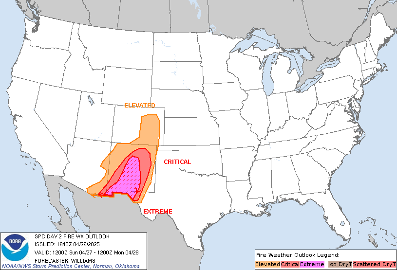
Day 2 Fire Weather Outlook
NWS Storm Prediction Center Norman OK
0142 PM CST Fri Dec 15 2023

Valid 161200Z - 171200Z

...NO CRITICAL AREAS...

...Southern CA...
Locally elevated offshore winds and low humidity are possible early
Saturday and into early Sunday across parts of southern CA. High
pressure over the interior West will continue to support moderate
offshore pressure gradients and dry conditions. A few hours of
breezy winds greater than 15-20 mph and RH below 20% are possible.
However, weak upper-level support and spotty fuels should keep
broader concerns limited. Elsewhere across the country, seasonably
cool and moist conditions will negate fire-weather concerns.

..Lyons.. 12/15/2023

.PREV DISCUSSION... /ISSUED 0146 AM CST Fri Dec 15 2023/

...Synopsis...
A mid-level trough will deepen across the eastern CONUS as a surface
cyclone deepens across the eastern Gulf of Mexico and traverses the
Florida Peninsula. Surface high pressure should overspread most of
the rest of the CONUS, promoting relatively cooler surface
conditions amid poorly receptive fuels, dampening significant
wildfire-spread potential.

...Please see www.spc.noaa.gov/fire for graphic product...
https://www.spc.noaa.gov/products/fire_wx/fwdy2.html Save to Pocket
date: 2023-12-13, from: NOAA tornado/severe thunderstorm watches, mesoscale discussions, convective outlooks, fire weather outlooks

Day 1 Convective Outlook
NWS Storm Prediction Center Norman OK
0647 PM CST Tue Dec 12 2023

Valid 130100Z - 131200Z

...NO SEVERE THUNDERSTORM AREAS FORECAST...

...SUMMARY...
Isolated thunderstorms will be possible this evening into tonight
across parts of the southern High Plains.

...DISCUSSION...
An upper-level trough will move across the Desert Southwest this
evening, as southwesterly mid-level flow remains over the southern
Rockies and southern High Plains. A 40 to 50 knot low-level jet will
strengthen across west Texas. Lift associated with the low-level
jet, along with large-scale ascent ahead of the approaching system,
will make isolated thunderstorm development possible late this
evening into tonight. No severe threat is forecast, and
thunderstorms are not expected over the remainder of the continental
U.S. through tonight.

..Broyles.. 12/13/2023
https://www.spc.noaa.gov/products/outlook/day1otlk_0100.html Save to Pocket
date: 2023-12-12, from: NOAA Weather Forecasts

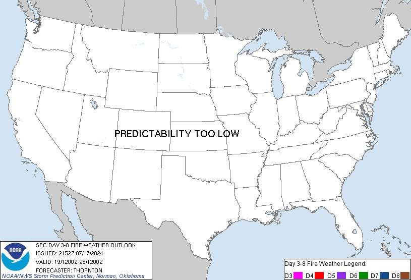
Day 3-8 Fire Weather Outlook
NWS Storm Prediction Center Norman OK
0228 PM CST Tue Dec 12 2023

Valid 141200Z - 201200Z

Fire weather potential continues to appear limited for the duration
of the extended period. Recent surface observations show a
strengthening surface high over the central Plains. This feature
will continue to amplify over the coming day as it migrates into the
eastern third of the country. Latest water-vapor imagery also
depicts an upper disturbance drifting southeast from the Great Basin
into the Four Corners region. This feature will introduce widespread
rain chances across the southern High Plains to the Southeast over
the mid to late week period. The combination of weak winds in
proximity to the surface high and cool/wet conditions should limit
most fire weather concerns.

..Moore.. 12/12/2023

...Please see www.spc.noaa.gov/fire for graphic product...
https://www.spc.noaa.gov/products/exper/fire_wx/ Save to Pocket