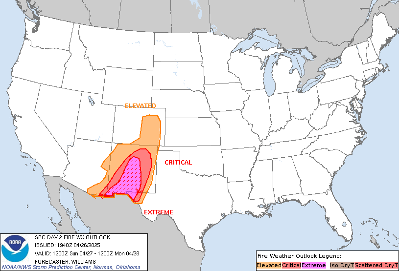
date: 2023-10-13, from: NOAA Weather Forecasts

Day 1 Fire Weather Outlook
NWS Storm Prediction Center Norman OK
1053 AM CDT Fri Oct 13 2023

Valid 131700Z - 141200Z

...NO CRITICAL AREAS...

No changes. The large fire threat remains minimal today.

..Bentley.. 10/13/2023

.PREV DISCUSSION... /ISSUED 1226 AM CDT Fri Oct 13 2023/

...Synopsis...
Surface low pressure will continue to track across the eastern US on
Friday. A cold front will accompany this feature, extending south
across the Ohio River Valley/Upper Mississippi River Valley and
westward into the central and southern Plains. Post-frontal
northwesterly breezes are forecast across portions of Kansas,
Oklahoma, and northern/central Texas. Across southwestern Texas,
northwesterly breezes will overlap relative humidity reductions to
around 15-20 percent. Recent rainfall across this region has
rendered fuels less receptive to fire spread. Status of fuels and
generally cooler temperatures will mitigate the risk of fire spread
and preclude the need to include highlights.

...Please see www.spc.noaa.gov/fire for graphic product...
https://www.spc.noaa.gov/products/fire_wx/fwdy1.html
date: 2023-10-13, from: NOAA tornado/severe thunderstorm watches, mesoscale discussions, convective outlooks, fire weather outlooks
No watches are valid as of Fri Oct 13 15:56:02 UTC 2023.
https://www.spc.noaa.gov/products/watch/
date: 2023-10-13, from: NOAA tornado/severe thunderstorm watches, mesoscale discussions, convective outlooks, fire weather outlooks
No Mesoscale Discussions are in effect as of Fri Oct 13 15:56:02 UTC 2023.
https://www.spc.noaa.gov/products/md/
date: 2023-10-13, from: NOAA tornado/severe thunderstorm watches, mesoscale discussions, convective outlooks, fire weather outlooks

Day 1 Convective Outlook
NWS Storm Prediction Center Norman OK
0739 AM CDT Fri Oct 13 2023

Valid 131300Z - 141200Z

...THERE IS A MARGINAL RISK OF SEVERE THUNDERSTORMS FROM CENTRAL
IOWA TO NORTHERN/WESTERN ILLINOIS AND EASTERN MISSOURI...

...SUMMARY...
A few severe storms will be possible this afternoon from central
Iowa to northern/western Illinois and eastern Missouri.

...Synopsis...
In mid/upper levels, a Rex pattern covering much of
north-central/central North America will transition back toward an
omega configuration, as:
1.  An anticyclone persists over central Canada, and
2.  A pronounced cyclone -- initially centered over NE -- travels
eastward roughly along I-80 to the southern Lake Michigan shore
region around 12Z tomorrow.  By 00Z today, the 500-mb low should be
near DSM.

The corresponding surface low was analyzed at 11Z over northeastern
NE near OFK, with cold front to near an STJ-CNU-SPS-FST line, and
warm front across south-central/southeastern IA to southern IL.  The
low should shift across southern/central IA through the day, nearly
in step with its nearby mid/upper-level counterpart, as the warm
front moves slowly northeastward over eastern IA and western IL.  By
00Z, the triple point should be over west-central/central IL, ahead
of the low, with cold front across southeastern MO, southern AR, and
east through south-central TX.  A separate, quasistationary frontal
zone across north-central FL should move little through most of the
afternoon, then slowly southeastward in response to cyclogenesis
near coastal SC.  That development should be related to the advance
of the mid/upper cyclone across the Midwest/Great Lakes, and
shortwaves traversing the basal cyclonic flow.  While isolated
thunderstorms will be possible along and south of the FL front atop
a richly moist boundary layer, severe potential there should be
muted by lack of stronger shear, lapse rates and lift.

...IA/IL/MO region...
Scattered thunderstorms should develop from midday through the
afternoon in one or two arcs east through southeast of the surface
low, near the occluded/cold fronts.  Activity should form initially
over western parts of the outlook area, then spread north through
east over it.  A marginal tornado threat exists, with any sustained
supercell(s) being the main concern for that, along with isolated
damaging gusts and low-end severe hail.

With abundant clouds and precip areas ongoing over the region and
only slowly shifting away through much of the morning, diurnal
destabilization will be slow to occur, and much of the buoyancy may
arise from a combination of weak warm advection/heating in low
levels and the eastern fringes of cooling aloft preceding the
progressive mid/upper low.  Surface dewpoints commonly in the mid
50s to low 60s F (locally higher) will support a narrow corridor of
MLCAPE in the 300-700 J/kg range immediately preceding the frontal
arc, amidst 25-40-kt effective-shear magnitudes and effective SRH
generally in the 150-250 J/kg range (maximized just east of the
low).  Instability, lift and low-level shear each should diminish
southward over central/eastern portions of MO/IL.  Convective
organization should diminish with eastward extent and time this
evening as well, due mainly to weakening instability.

..Edwards/Broyles.. 10/13/2023
https://www.spc.noaa.gov/products/outlook/day1otlk_1300.html
date: 2023-10-13, from: NOAA Weather Forecasts

Day 2 Fire Weather Outlook
NWS Storm Prediction Center Norman OK
0138 AM CDT Fri Oct 13 2023

Valid 141200Z - 151200Z

...NO CRITICAL AREAS...

...Synopsis...
The risk of fire spread will remain low across the CONUS on
Saturday. Building high pressure across the western US will keep
winds light where the driest air mass resides, within the
southwestern US and southern Plains on Saturday. Pockets of breezy
northwesterly flow will be possible across the central Plains and
the Great Lakes region. However, cooler temperatures will lead to
higher humidity and overall low risk of fire spread.

..Thornton.. 10/13/2023

...Please see www.spc.noaa.gov/fire for graphic product...